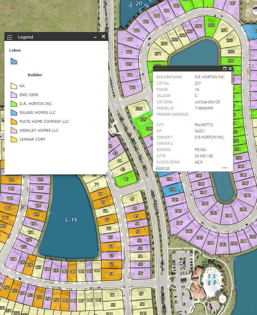
Data Collection
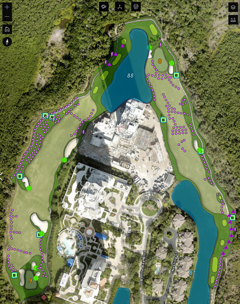
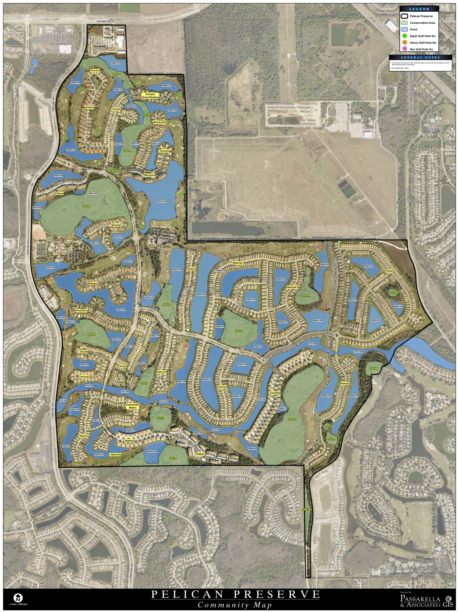
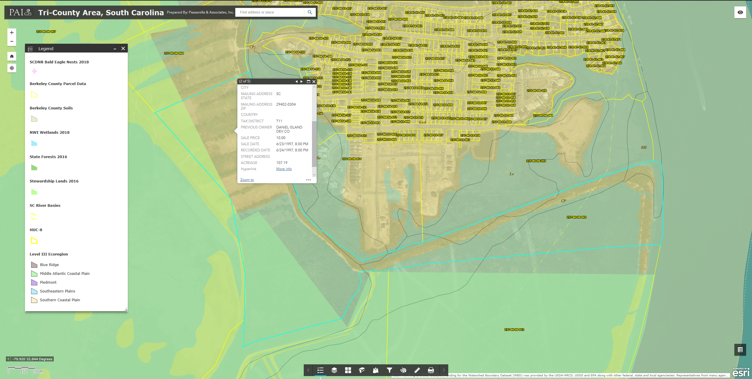
Our team can compile data for public and private projects of all sizes, utilizing sub-inch GPS devices, aerial/LiDAR interpretation, CAD files, hard copy maps, property records, and more! Some examples include: tree inventories, street lights, traffic signs, municipal infrastructure, etc.
Real Estate Market Analysis
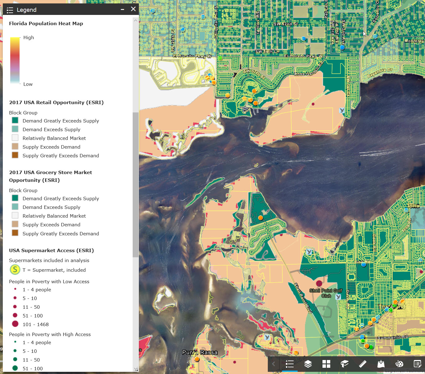
Much like site selection analysis, real estate analysis provides necessary information needed for the valuation and feasibility of a real estate investment. Our GIS team can assess important aspects such as demographic and socioeconomic data, traffic analysis, educational facilities, emergency facilities, and more.
GIS can help address important questions and decisions that are beyond the capability of a simple visual analysis.
Most images provided and copyrighted by Sr. Ecologist and nature photographer William R. Cox. To order prints, please visit www.williamrcoxphotography.com
© 2024 Passarella & Associates, Inc. All Rights Reserved. Support by Gifted Owl | Privacy Policy | Cookie Policy | Accessibility Policy

